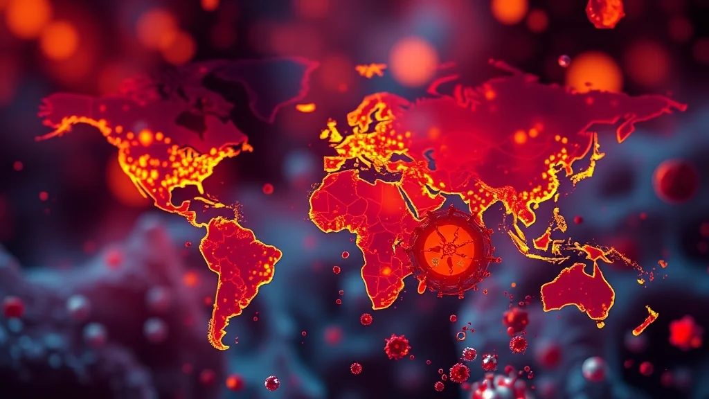
The real-time fire map is a groundbreaking online resource that has recently gained significant attention due to its ability to track wildfires around the globe in real time. This digital tool provides critical information for emergency responders, researchers, policymakers, and concerned citizens alike, making it easier than ever to stay informed about the latest developments in wildfire management.
What is a Real-Time Fire Map?
A real-time fire map uses satellite imagery, ground-based sensors, and AI-driven analytics to monitor wildfires as they happen. These maps display current hotspots, intensity levels, and historical data on past fires. By providing up-to-date information, the tool helps users understand which areas are most affected by wildfires at any given moment.
Why is it Trending Now?
The increasing frequency and severity of global wildfires have brought unprecedented attention to this issue over recent years. Climate change has exacerbated conditions that fuel fire outbreaks, making the need for accurate real-time data more critical than ever before.
- Wildfires are becoming larger and more destructive due to climate change factors like drought and heatwaves.
- The tool provides a centralized source of information that aids in coordinated disaster response efforts.
The recent surge in wildfires across different continents has highlighted the importance of having reliable, up-to-date information on fire activity. As such, real-time fire maps have become an essential resource for understanding and addressing this growing global challenge.
Key Details About Real-Time Fire Maps
Data Sources:
- Satellite imagery from various organizations like NASA, ESA, and NOAA.
- Sensor data from ground-based monitoring stations in affected regions.
- Aerial footage collected by drones for more detailed analysis.
Features of the Map:
- Interactive map interface allowing users to zoom in/out and track fires across different areas.
- Color-coded intensity levels indicating fire severity.
- Historical data on past wildfire events for comparative analysis.
User Benefits:
- Emergency responders can allocate resources more effectively based on real-time updates.
- Social media users and bloggers share the maps widely, increasing public awareness about fire risks.
- Researchers gain valuable insights into long-term trends related to wildfire activity and climate change.
What Can We Expect Next?
The future of real-time fire mapping looks promising with advancements in technology expected to enhance both accuracy and accessibility:
- Incorporation of machine learning algorithms for faster detection of new fires.
- Integration with mobile apps allowing users to receive push notifications when fires occur near them.
- Collaborative efforts between governments, NGOs, and tech companies to expand coverage globally.
The ongoing development of these tools will continue to play a crucial role in combating the global wildfire crisis. As we move forward, expect to see even more sophisticated features that improve our ability to monitor and respond to this ever-growing threat.